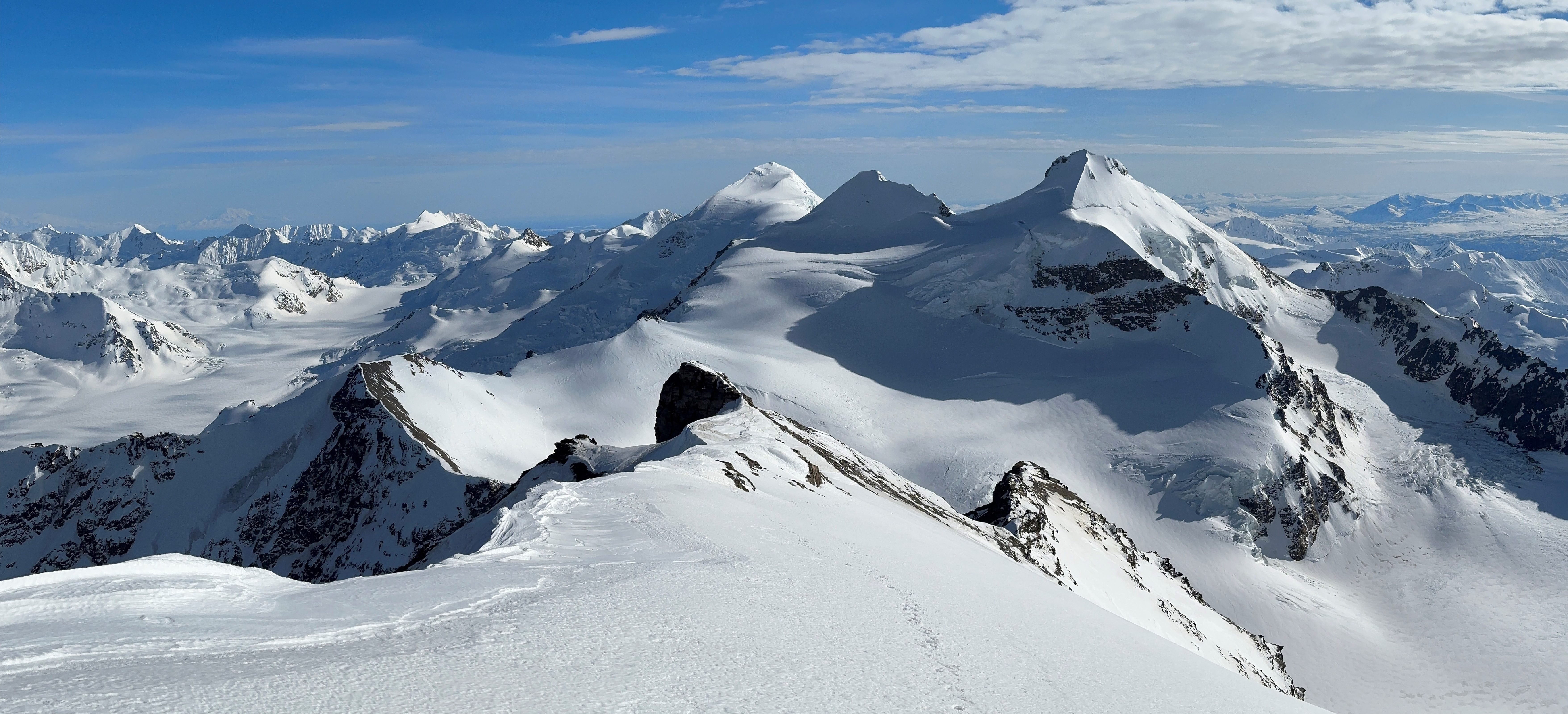

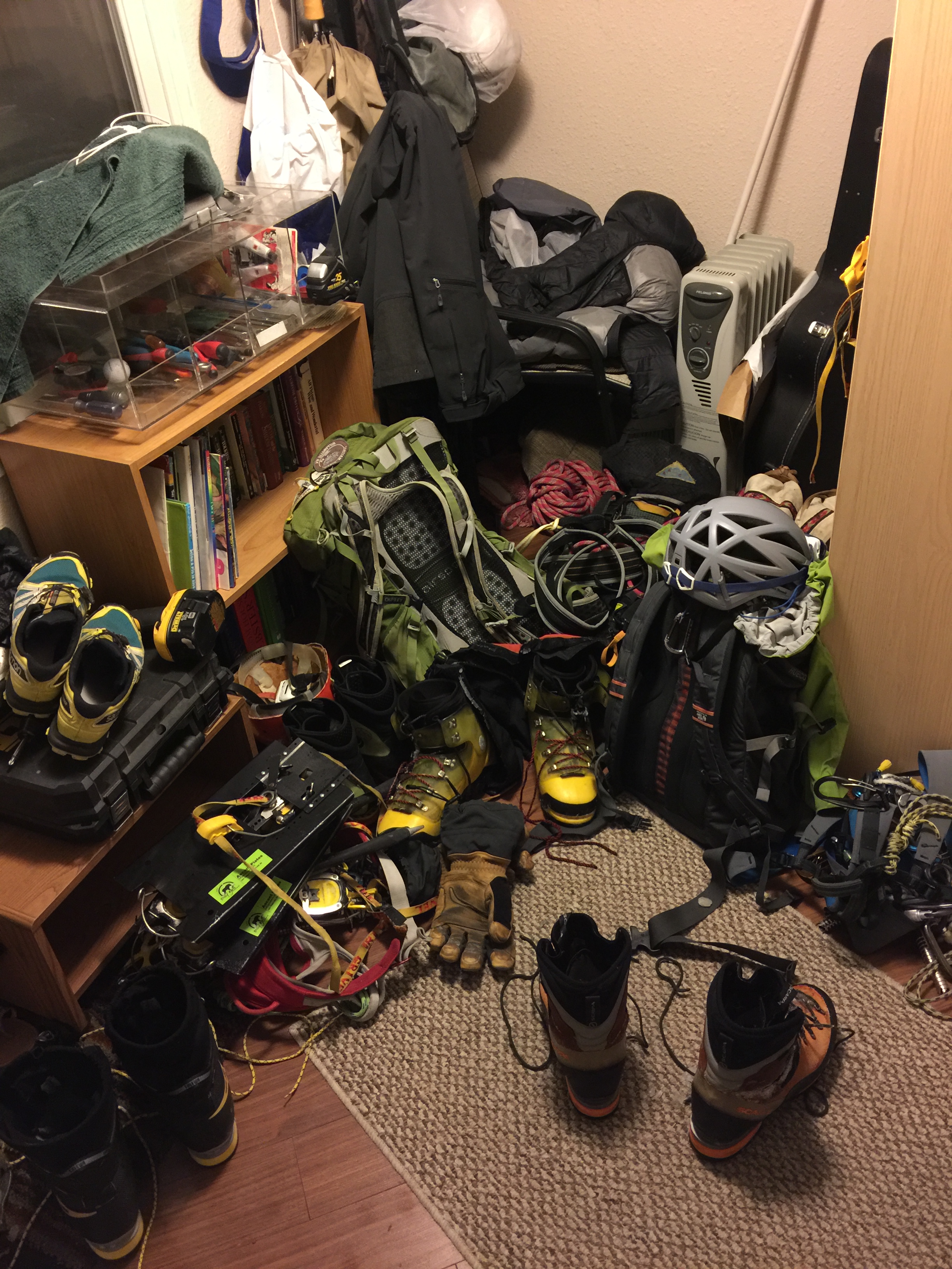
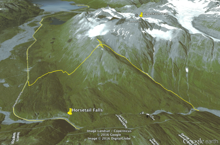
I arrived in Valdez following a brief recovery break from my trip to Tolovana Hot Springs. Not knowing what exactly this trip to Valdez would entail, I brought everything, including equipment for: ice climbing, splitboarding, mountaineering, running, and cross country skiing. The only gear I didn’t end up using was my splitboard; Valdez had been ravaged by windstorms that had vaporized or blown away all fluffy snow. This event, however unfortunate for shredding conditions, allowed us to complete what we believe was the first ascent of an ice line on Lower Leprechaun Peak. We had hopes to complete the full mountain, but after reaching the saddle 1,500’ below the summit, we decided our day had been long enough. The fact that we didn’t bring much food and that the sun had set around 4PM were contributing factors in our decision-making.
The day before we climbed the route, Ryan Sims, Zach Alexakis, Lydia Lardy, and I scouted out the approach. Parking at a nondescript pullout on the Richardson Highway just south of Keystone Canyon, we traveled up what appeared to be a retired dirt road. We took an abrupt turn up a small creek, still flowing beneath the ice despite the freezing temperatures in the month of January.

One by one the four of us donned crampons to safely travel up the creek, though Sims waited until we passed the vertical ice before he put his own crampons on in order to “ice boulder”. Living in Valdez has turned Sims into a madman when it comes to ice climbing, and he didn’t exactly start off sane.
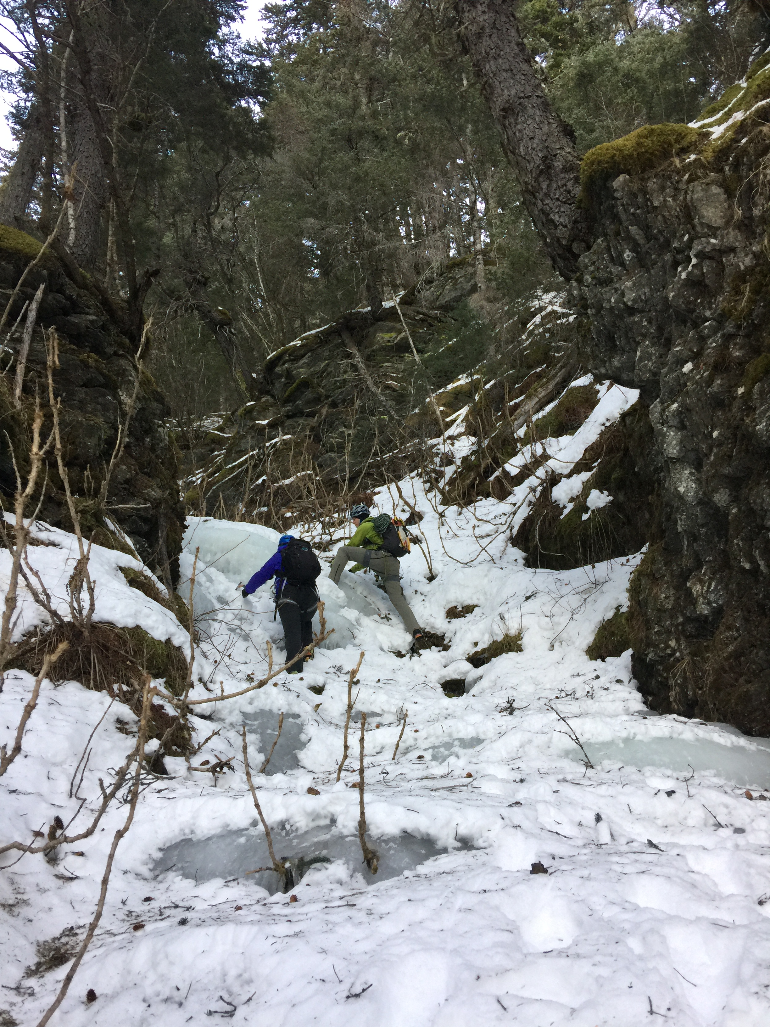
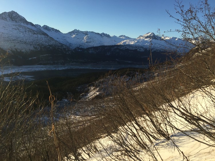
More creek travel and post-holing found us traversing up the north side of the creek to escape the thorny devil’s club hiding in the snow. Travel turned pleasant once we gained the hill and we got eyes on the ice we wanted to climb. Our lookout brought us half a mile from the road, though it took the better part of an hour to reach. The ice we spied was less than a mile away as the crow flies, but between us and the ice lay was another half mile to the valley basin, and another half mile of alders and wind-deposited snow to travel through.
That evening we geared up and prepared for the climb by partying heavily. I chose to…let’s say “mostly abstain”, since we were to wake up at 6AM to begin our day. When the time came, none of us were quite “feeling it” and we unanimously remained silent and tried not to move as our 3 separate alarms sounded off at 6AM, and then again at 7AM. Around 8AM I got up and began making coffee and breakfast. Acknowledging it was a good idea to sleep in, we got a move on the day. We parked my car at the “trailhead” and began up the creek. Our trail the previous day facilitated fast travel and we made it to our lookout position in 40 minutes.

The snow turned funky as we dropped into the next drainage, and we alternated from post-holing into and delicately walking on the wind slabbed snow. Once we reached the alder field, the real slog began.

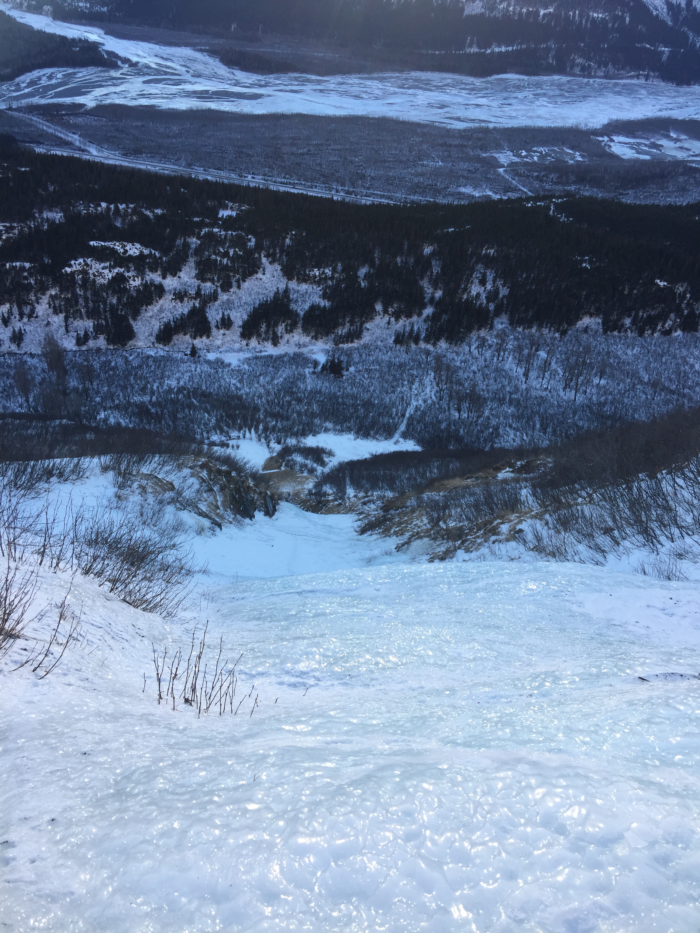
It took over an hour and a half to negotiate the half mile across the basin. Due to topography, the valley we were crossing was a deposition area for snow. So when the wind blows, the snow often lands here. The alders prevent the snow from compressing or getting blown around too much, and the basin is lined with gullies that come down the mountain and empty into the basin. There were about 10 of them between us and the ice, with the ice gully as the 10th. We traded off breaking trail through the snow, as well as breaking more than a few alders.

After an hour we had crossed the span of five gullies, which involved dropping down one side and climbing the opposite side of the slope, when we spied an avalanche gully with about 4 more gullies between it and our chosen route. The avalanche gully, or “the shortcut” had compressed snow and few alders. We gained a hundred or so vertical feet up the gully in an attempt to bypass some of the alders, but our attempt was mostly in vain. Though the alders thinned a bit, we now had to traverse a slope, negotiate alders, and break trail. At least we didn’t have to climb down in and out of the remaining four gullies.

We reached the base of the climb and started our ascent at 1PM. The steepest ice on the initial climb up the gully was about a hundred feet (if that) of 50-60 degree ice. A fun warmup for my first time on ice this season.

The next 1100’ was low angle ice, sometimes covered in snow.

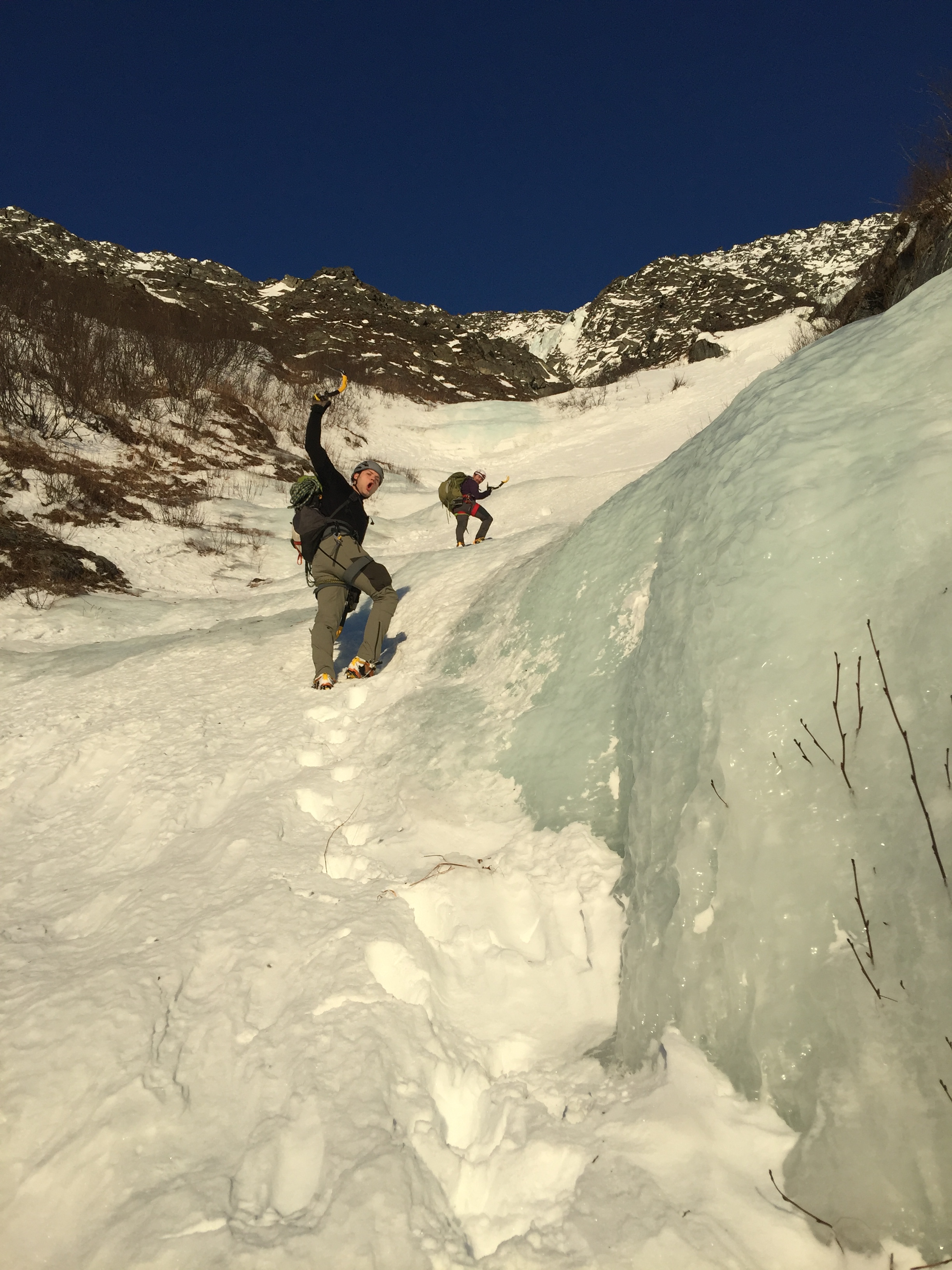


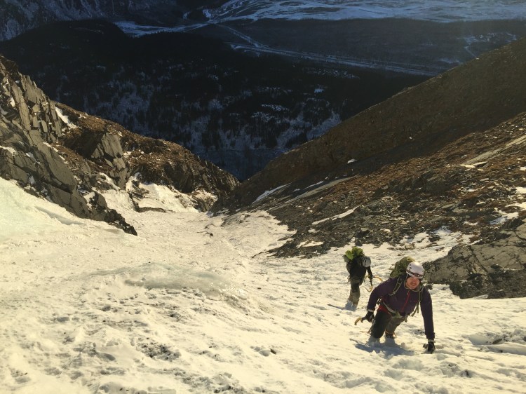

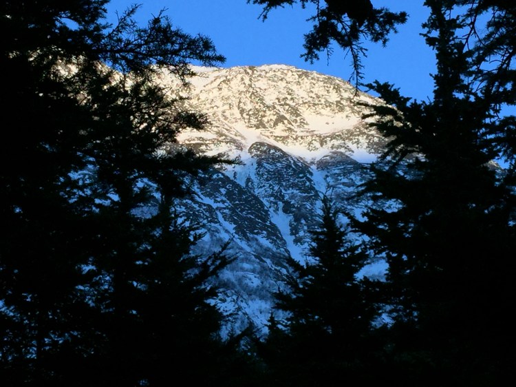
Around 2400’ elevation we reached the ice and attempted to climb around the looker’s-left side. This involved a brief bit of free soloing up and down, once we determined the route would not go (“The Folly”). Ryan geared up to lead the ice with Zach belaying.
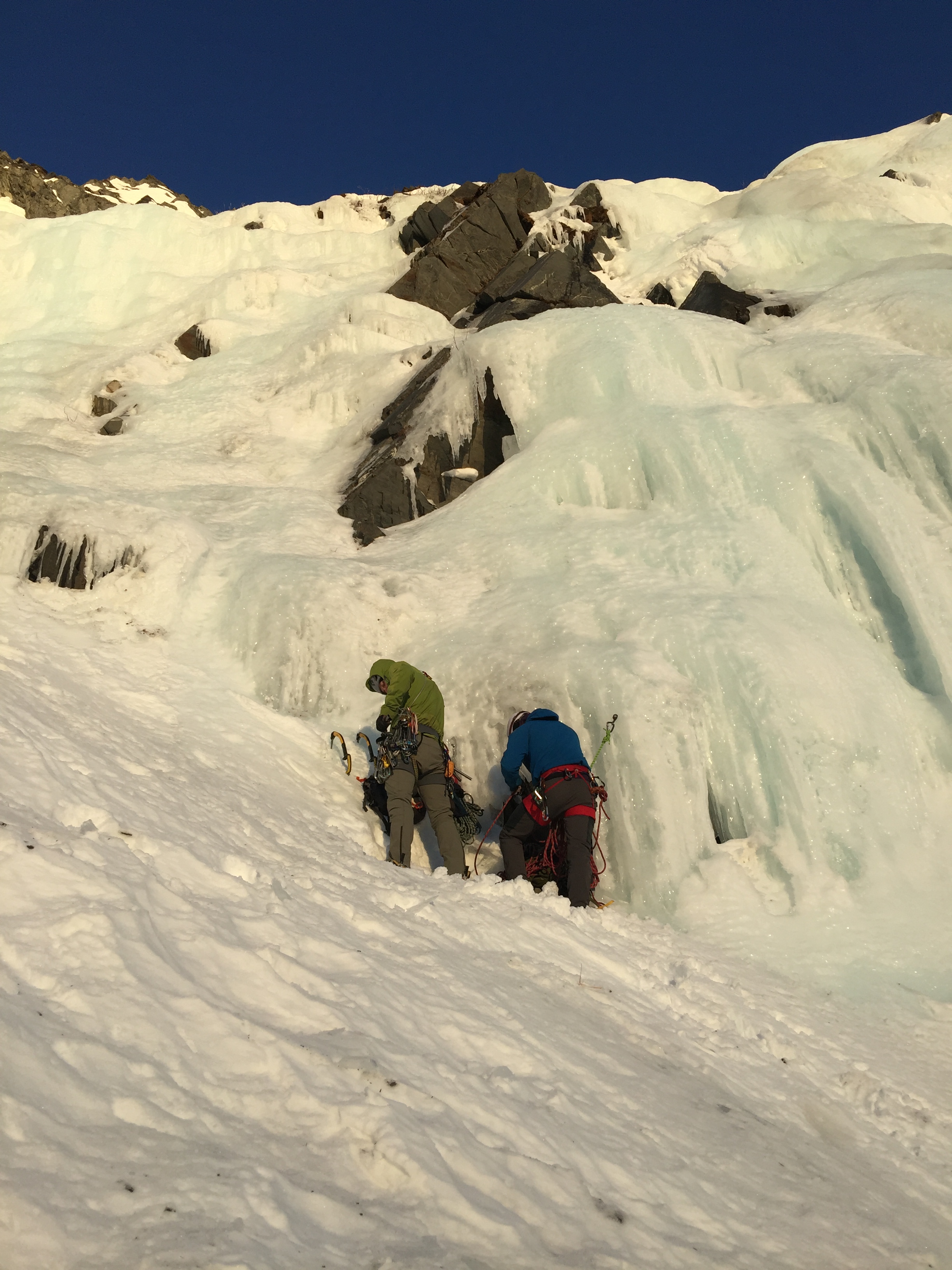


The sun set multiple times as it passed behind Meteorite Peak, and it set in earnest when Ryan reached the top of the ice around 4PM. Zach and I both had cold hands from our inactivity which were eventually warmed up by climbing ice. Removing hundreds of dollars of protection in ice screws with numb hands was not my favorite part of the trip, but nothing got dropped. At the ice plateau below the belay my hands regained circulation in a rather painful way. Zach experienced the same revitalization, though he made much more of a fuss.

Joining Ryan at the belay, I offered to get some water by chipping a hole in the ice where it was thin. After nearly slipping and falling while beginning the traverse, we decided dehydration would be preferable and we would “figure something out”. I love the optimism of these guys.

Zach used the last of his phone battery to get a hold of Lydia, who was planning to pick us up whenever we got to the road. He managed to inform her we had gained the crux ice step and were moving towards the saddle on Lower Leprechaun Peak before his phone died.

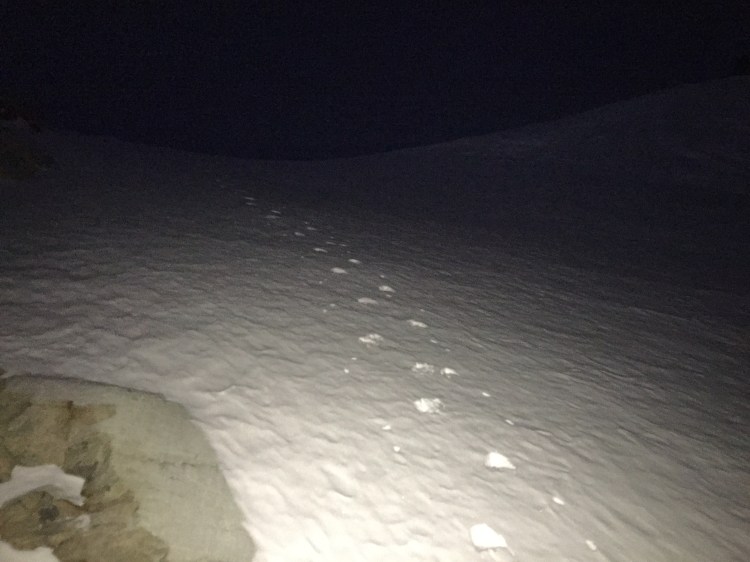
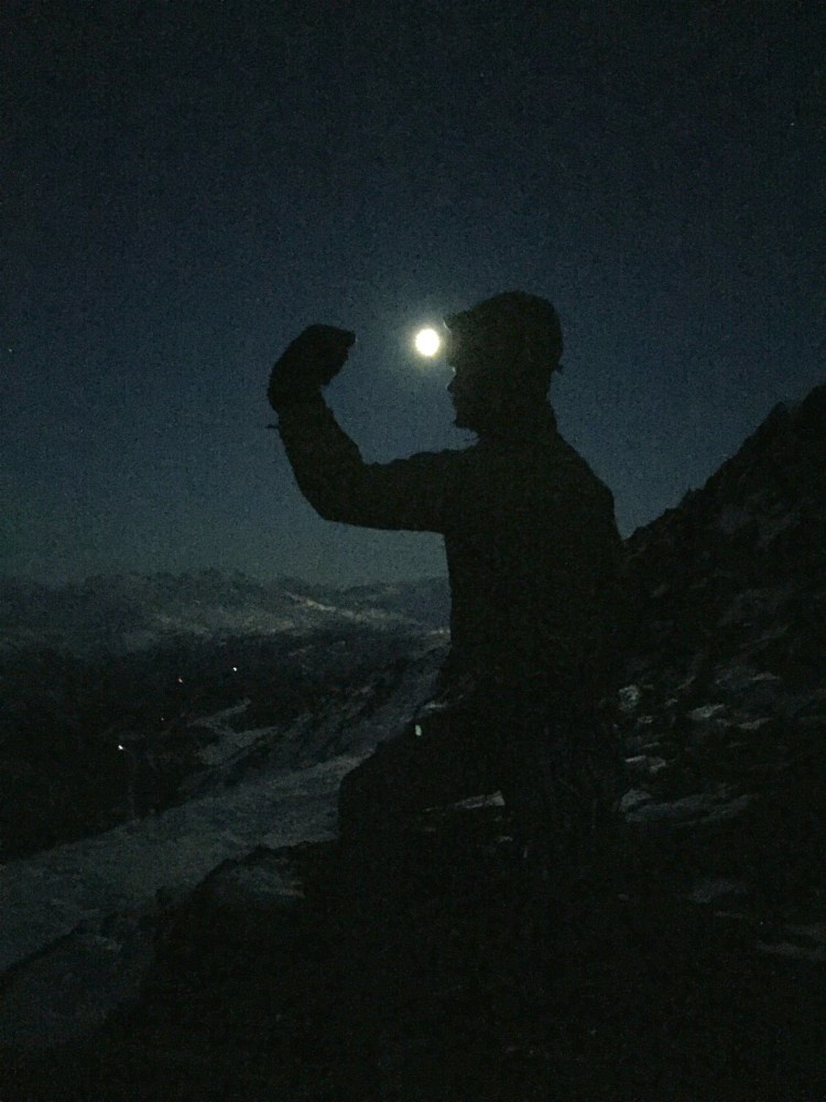
The sky darkened as we continued on our ascent; igniting our headlamps, we spaced out as we continued up the snow gully. The moon had (unhelpfully) risen on the opposite side of the mountain, and one by one each of us bathed in its glow as we topped out at the saddle.

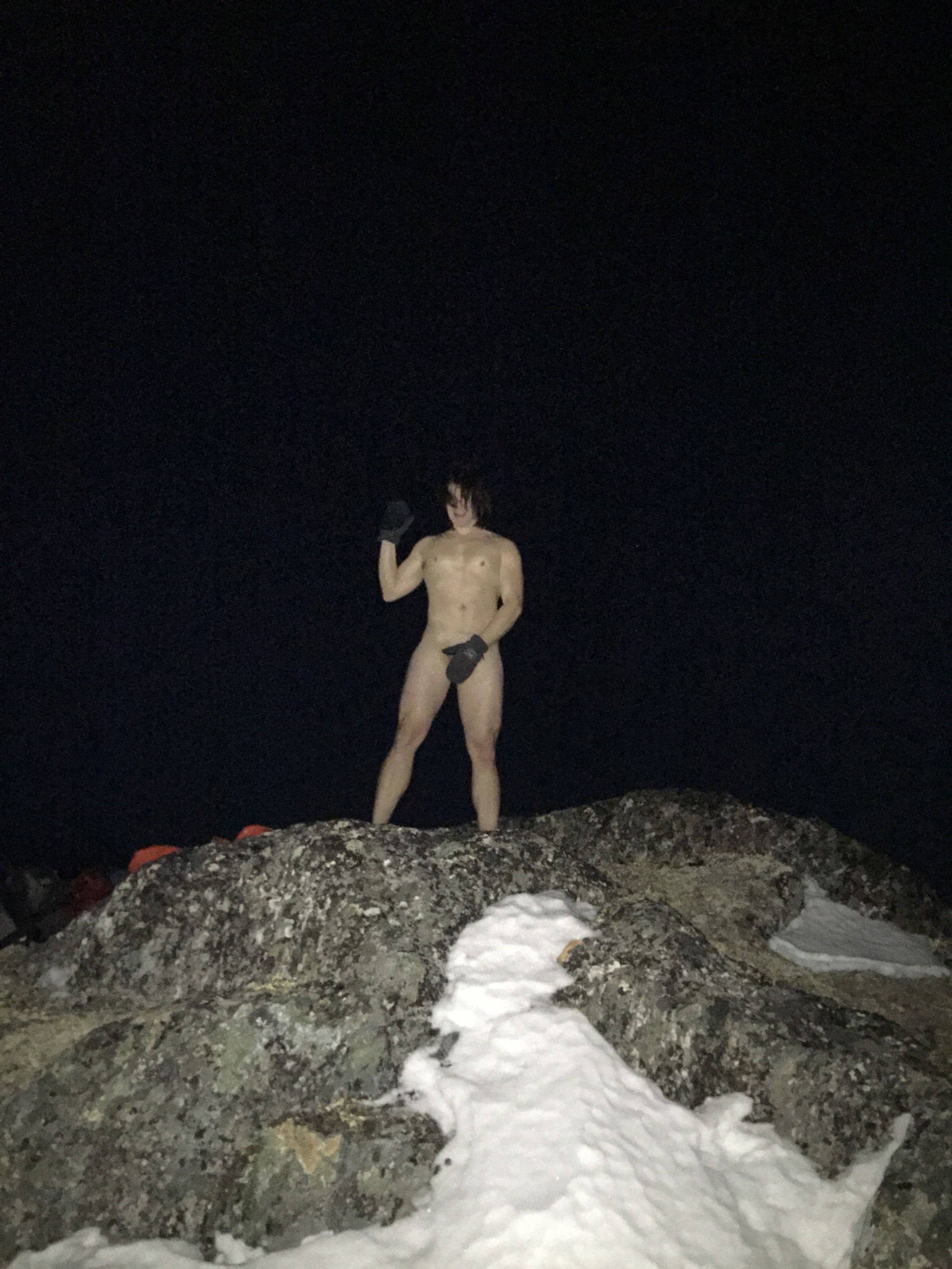
All thoughts and considerations of climbing to the summit of Leprechaun Peak were abandoned, along with our packs, as we made our way to the knoll that is the top of the west side of Keystone Canyon. I stuck to my word and pulled a full-Monty…solo.
The boys said they were going to climb a little higher for fun, and inadvertently climbed just above 4000’ elevation. After re-dressing I joined them and we contacted Lydia to let her know we would descend Snowslide Gulch and could use a ride.

We grabbed belongings and made our way down the Gulch, dropping elevation much faster than we had gained it. After about 1000’ of elevation loss, we heard water flowing. Optimism paid off as we used our ice axes to chop holes into the ice of the flowing mountain river.

With bellies and bottles full of water, we descended the remaining 2700’ in just under two hours. The last thousand feet of elevation drop involved the worst bit of trail-breaking on the trip.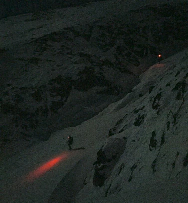

The snow had been windblown, but was not solid enough to support a climber’s weight 70% of the time. More than a few swear words were loosed upon the god-forsaken snow with little to no effect on its density. When we finally neared the bottom of the gulch we spied a vehicle parked on the highway. The vehicle spied us as well, with a spotlight. Blue and red lights flashed briefly from the vehicle, and Ryan concluded his dad had come to pick us up. We had to cross the Lowe River to get to the highway, but found a stretch of ice thick enough that it supported our weights. I never expected to be happy to ride in the back of a cop car. I was dropped off to retrieve my vehicle and we all reconvened at Lydia’s place down the road.
There are probably better ways to avoid climbers in Keystone Canyon.
