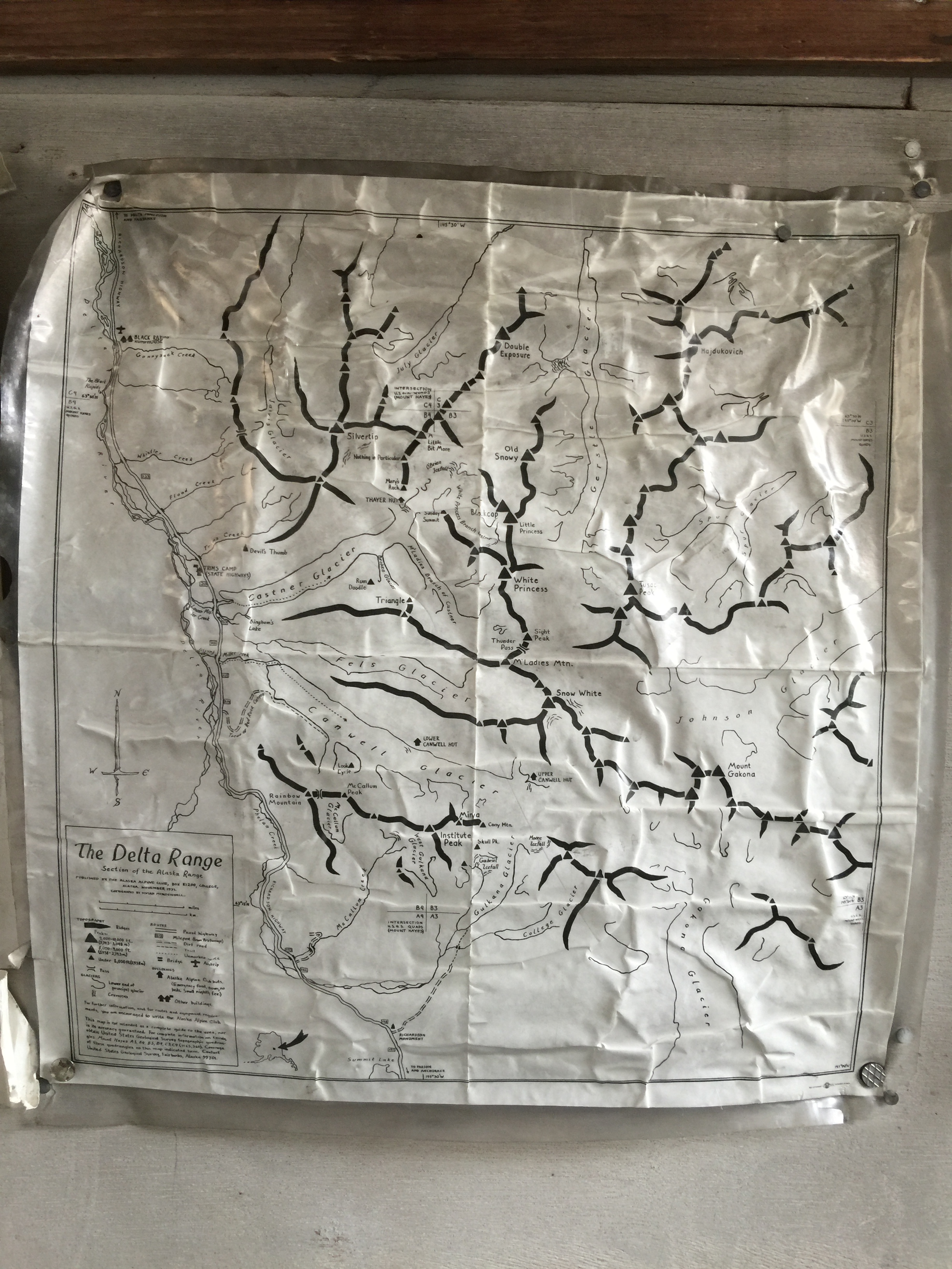
After finishing the last (night) shift of the project “Repave Denali Park Road”, my ladyfriend Phoenix drove my car north to meet me. I transitioned to day shift without sleep and we drove the Denali Highway, hiked to the Thayer Hut, and spent two nights enjoying the wonderful weather and amazing aurora.
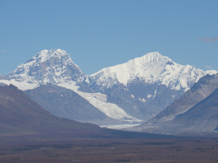
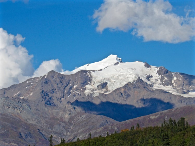
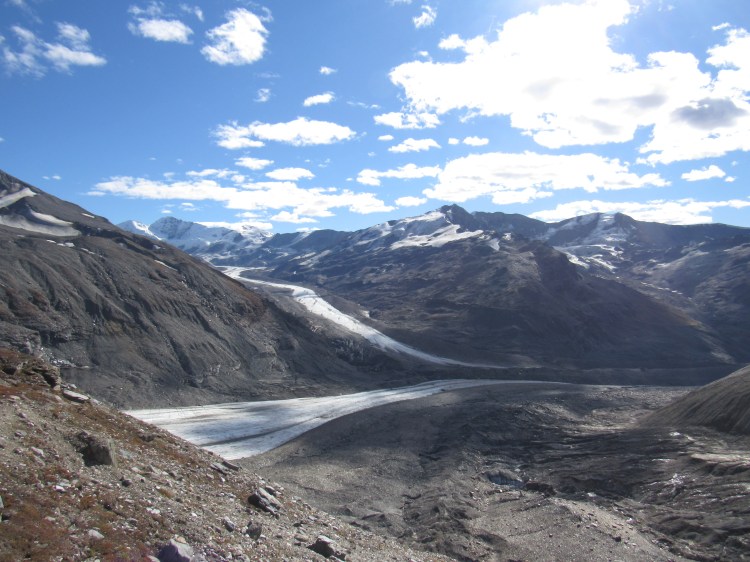
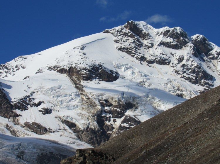
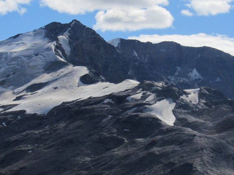
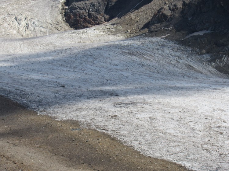
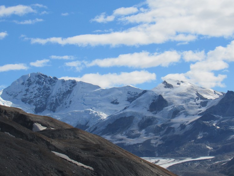
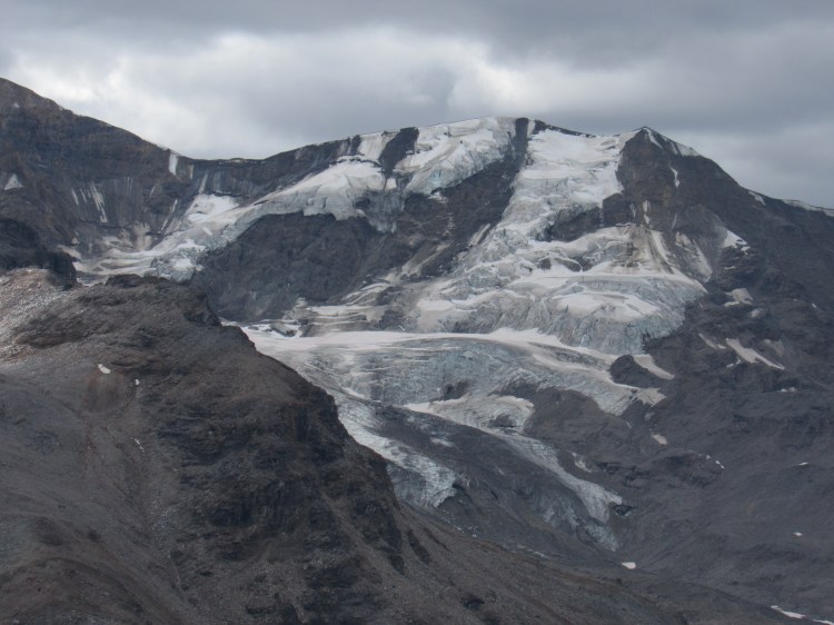
Second-to-last night of pavingMount Deborah, Mount Hess from the southwestMount Hayes, from the southwestMount Hayes, from the southeastMounts Shand, Moffit, and McGinnisGulkana Glacier is rapidly melting. Herearesomeolderreferencephotos (click on each word for a different photo)From the south: the darker Item Peak tops out on the right side of the ridge with rocks jutting out of the snow; the lighter Mount Silvertip is the high peak behind it
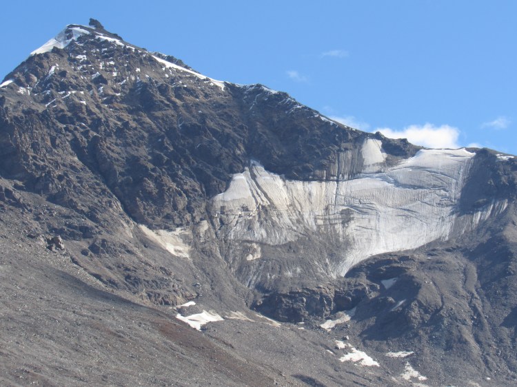
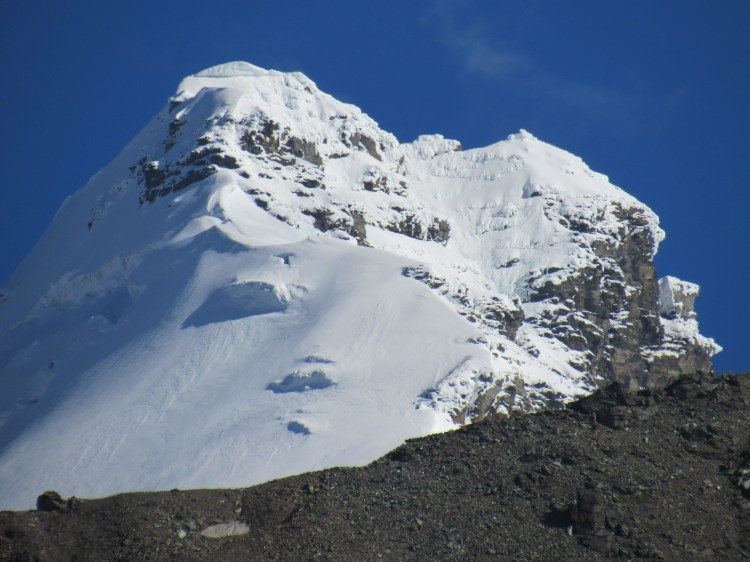
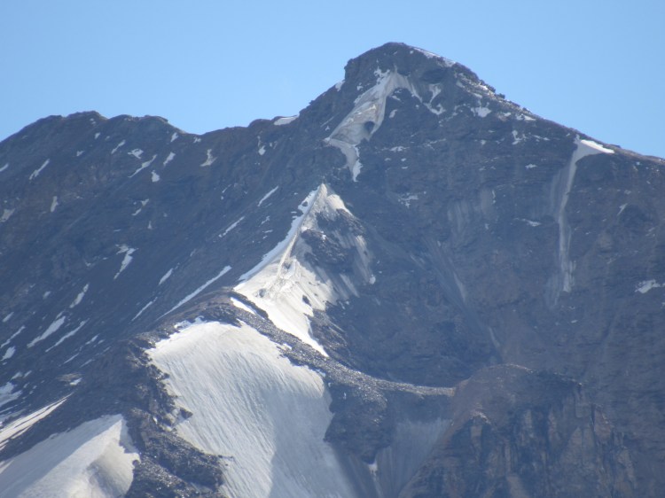
Item Peak, from the south. My misadventure lower down along this ridge can be found here.
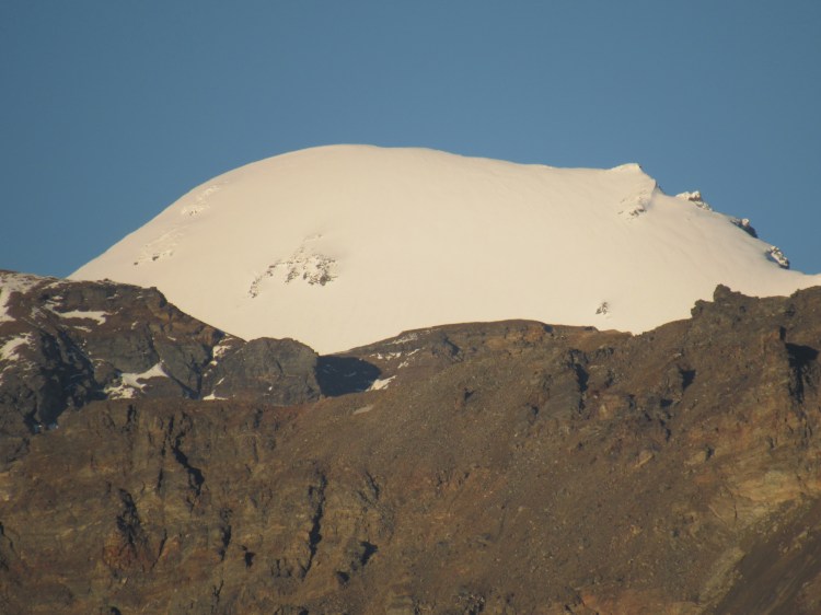
Fels Glacier Valley: Snow White from North-West (Richardson Highway)
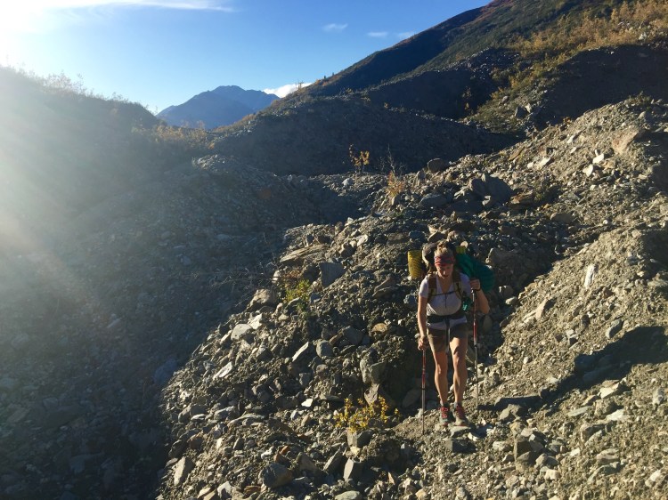
In the past, I have taken far too many photos of the Castner Valley; I did not take many on the journey up. Phoenix and I reached the Fin and descended to the north to gain access to the glacier. We reached the Confluence by dark, refilled our water, and made slow progress towards the hut as we navigated crevasses and ice bridges in the dark. We reached a drainage that descends from the hut plateau and followed it up, reaching the hut after midnight.
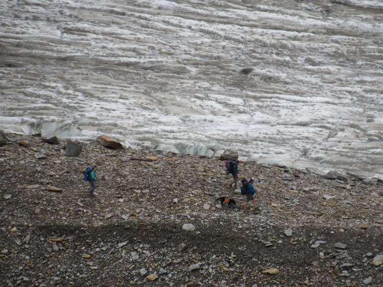
Moraine hiking is awful; silt and rocks are precariously balanced on melting ice, so the terrain is constantly changing and settling.Phoenix and Kiro; Old Snowy and Blackcap above and to her left on the skylineOld Snowy, just the tip, from the South-WestBlackcap; Galen’s and my adventure on that peak can be found here.Triangle Peak, summit ridge on the left. The Death Cornice that forms every winter is still hanging onto the summitPhoenix; Blackcap and Triangle visible to her leftFound the perfect watering hole for my AMH bottle
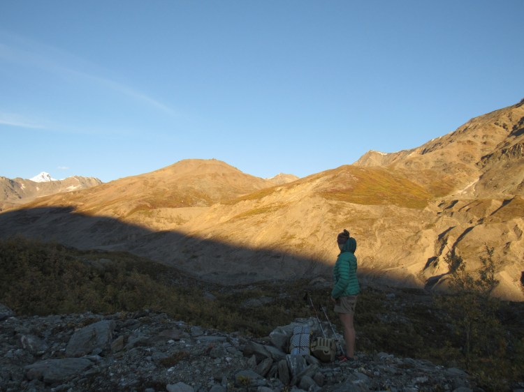
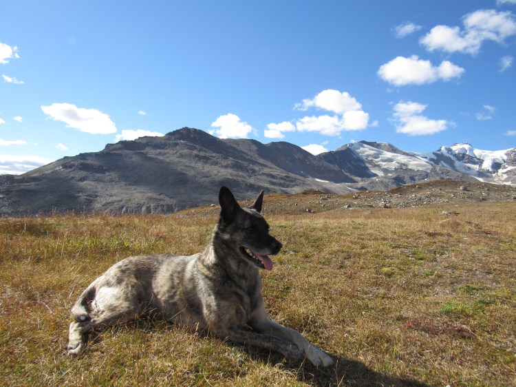
The next day I woke up at 2PM and we hung out in the sun all day. Kiro played whack-a-mole with the local critters, with a 0% catch rate.
White Princess Branch, M’Ladies Branch of the Castner Confluence, September 3rd, 2016Zoomed in view of the M’Ladies Branch (upper)meeting the White Princess Branch (lower)Upper M’Ladies Branch
Triangle Peak, from the North
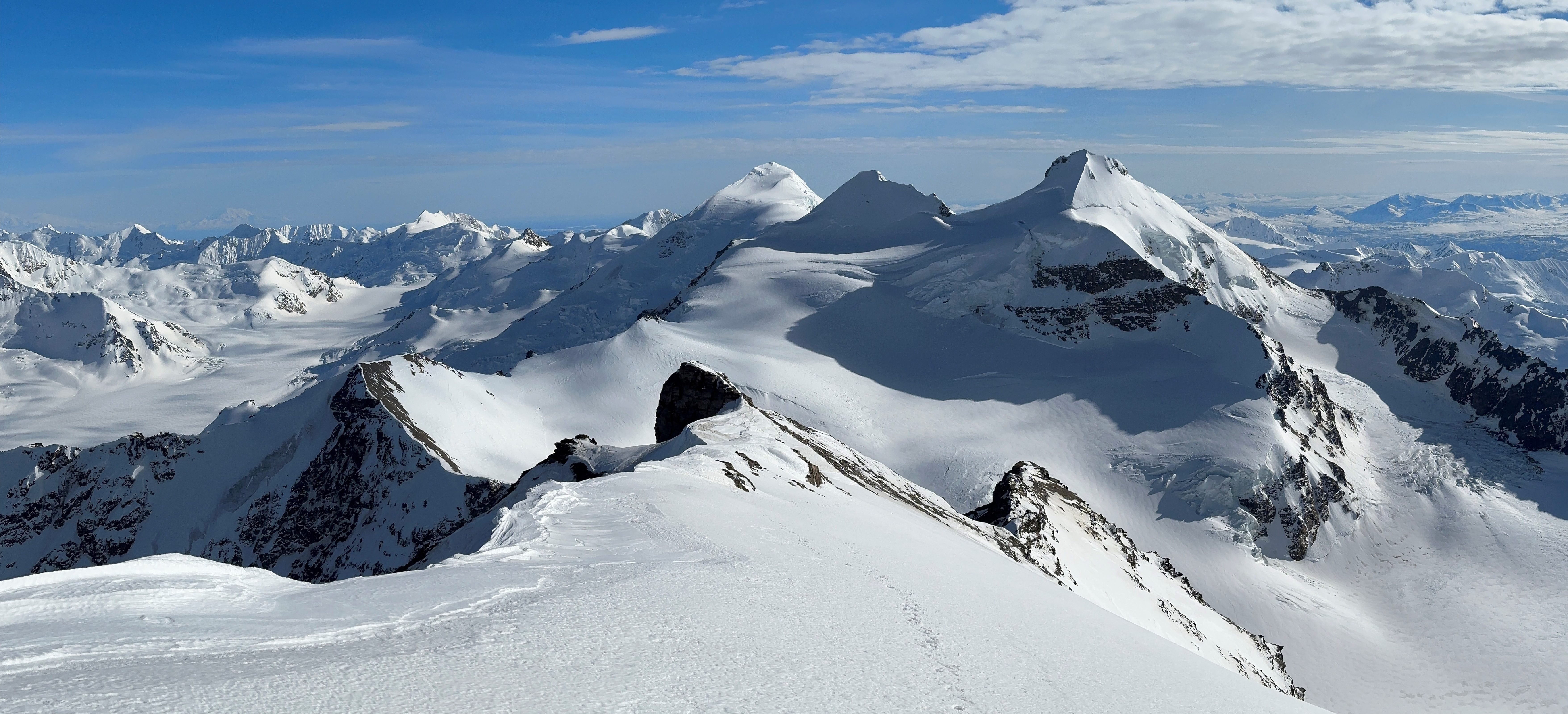
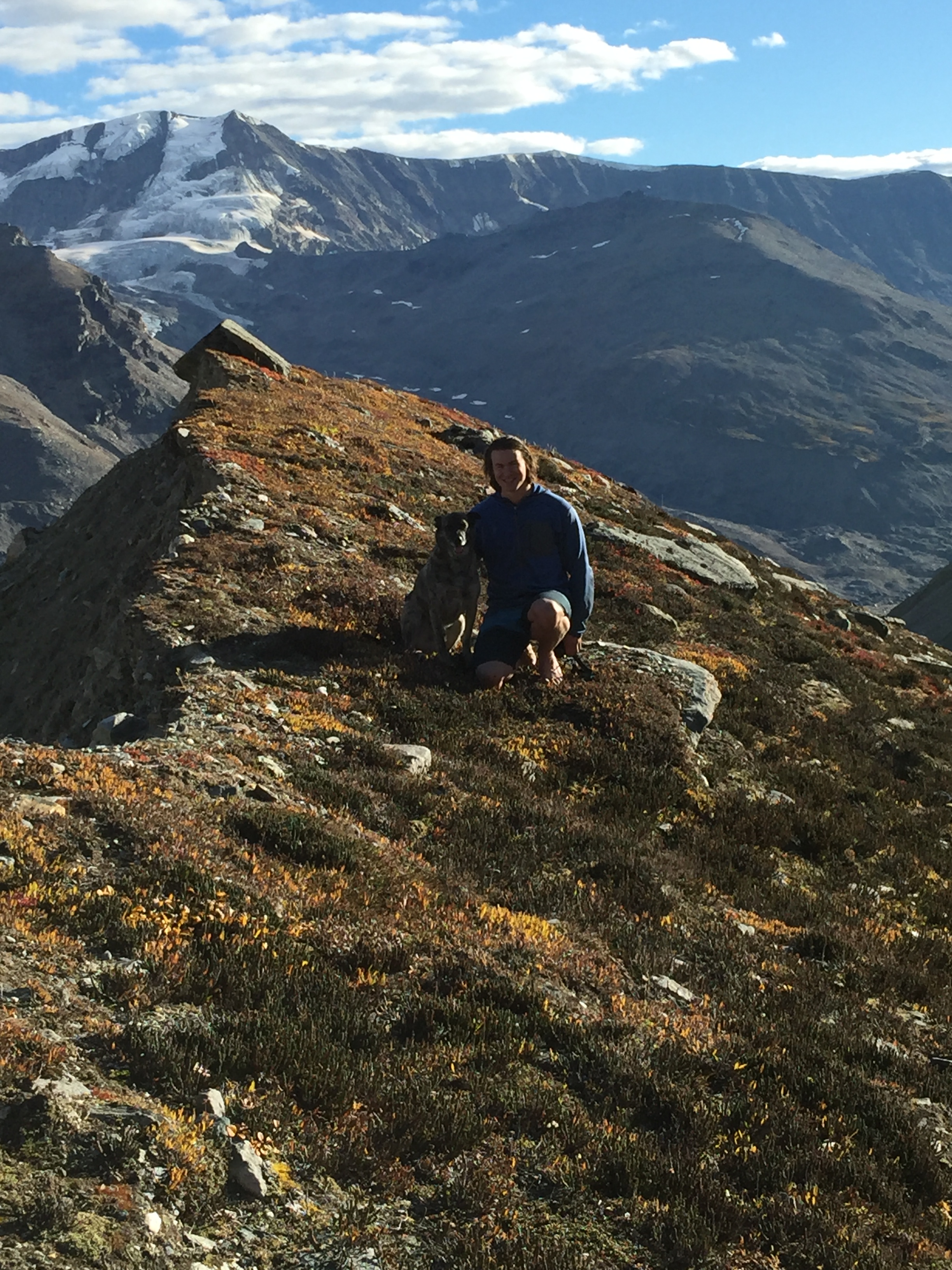
Kiro, with Item Peak to his left and Silvertip above
The Silvertip Branch of the Castner. Here’s a view from the other side.Upper Silvertip BranchItem Peak from the EastSilvertip, from the South-East. Here’s the view from the top (warning: 100mb photo).
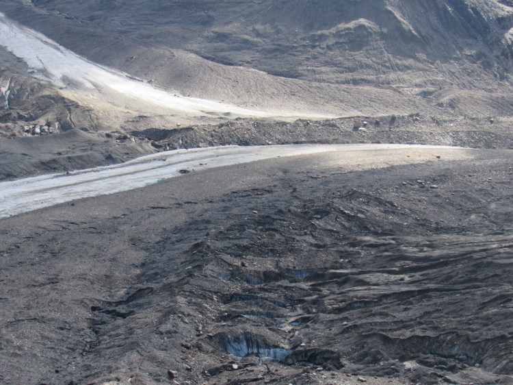
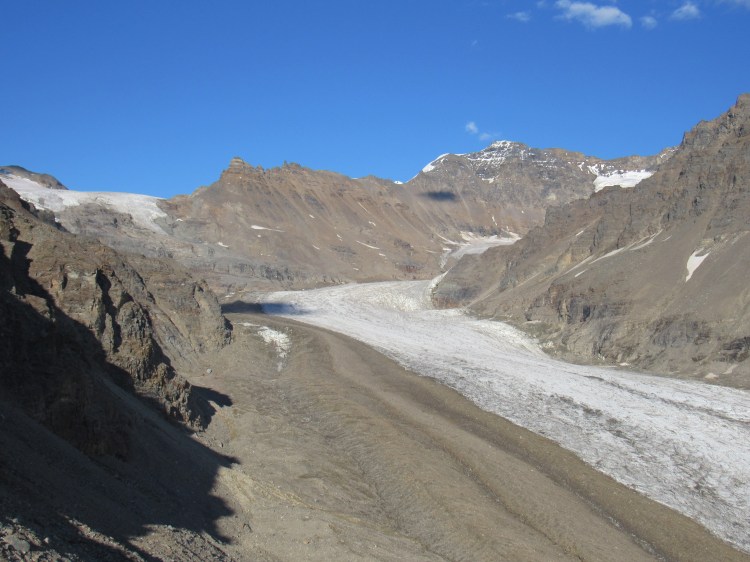
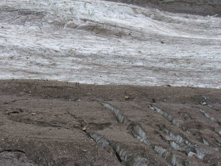
BlackcapConfluence; the broken and hilly Silvertip Branch moraine takes up most of the bottom half of the photo, right side. Some bare ice can still be seen.
M’Ladies Peak, from the North-WestOn the ridge: directly above the Thayer Hut is Sunday SummitTriangle Peak, North ridge. My report on attempting this ridge can be found here.
From the overlook; scree below drops off to cliffs
This and the next few photos pan up the White Princess Branch
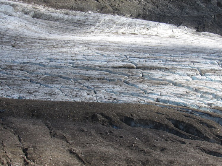
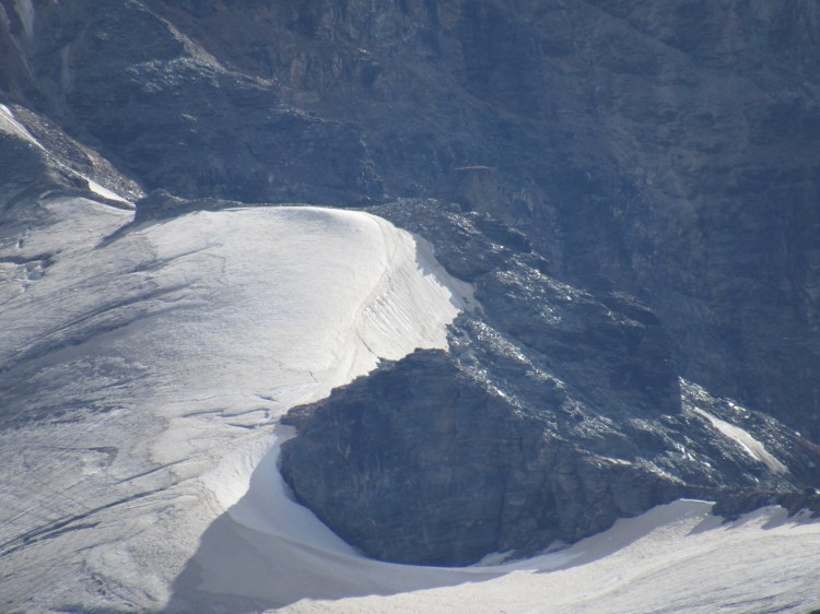
Zoomed out a bitZoomed back in for the cornerNEVER cut this corner when traveling up the glacier in the winter!
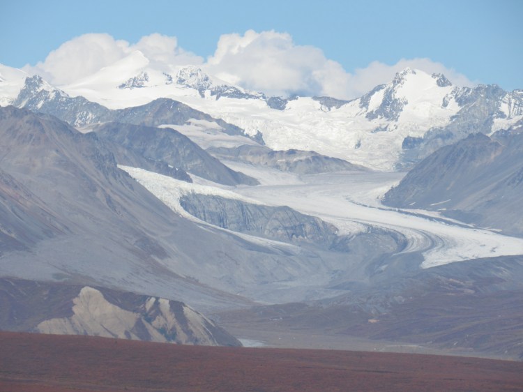
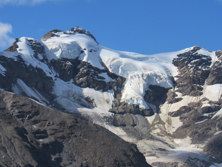
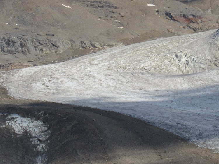
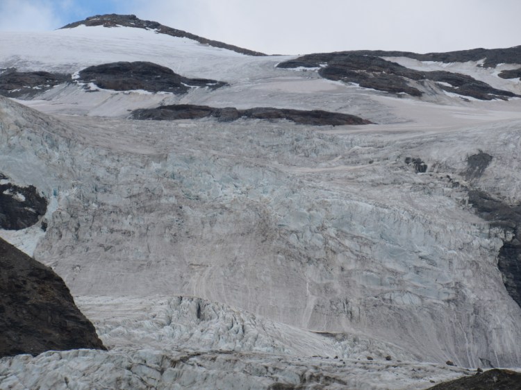
Up and to the left from the last photo: The O’brien icefall, which connects the Silvertip Icefield with the Castner Glacier, is quickly melting. There area few ridges between where this photo was taken and the ice, not all of it can be seen.M’Ladies Peak (left), Peak 8010 (right)8010Phoenix, Kiro, Thayer Hut, SilvertipItem Peak
Triangle Peak, the sun has moved through the day giving a different view of the ridgeBack of the Sphinx (front of the Sphinx)The snow reveals the north ridge of Triangle PeakKiro and M’Ladies PeakKiro on a crowberry bush
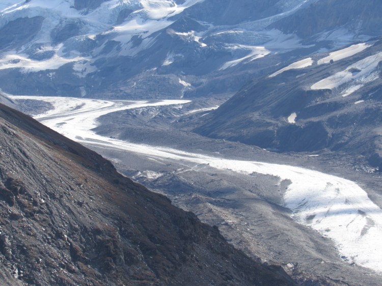
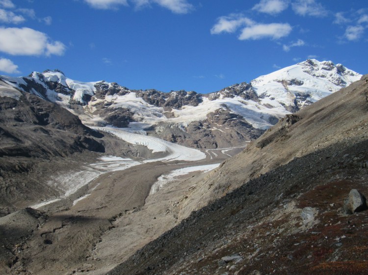
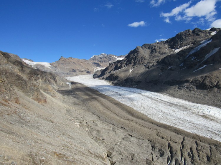
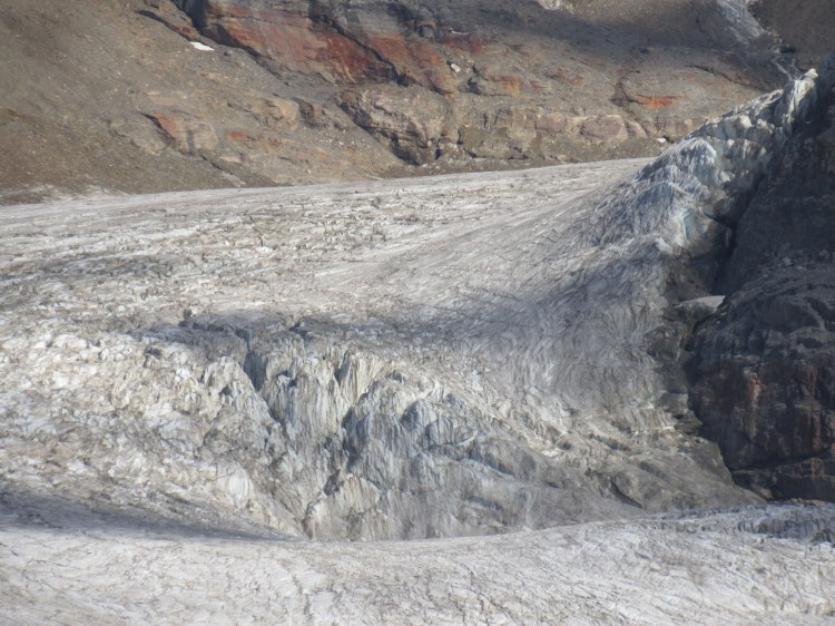
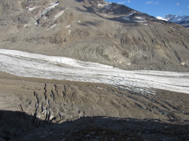
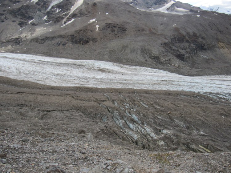
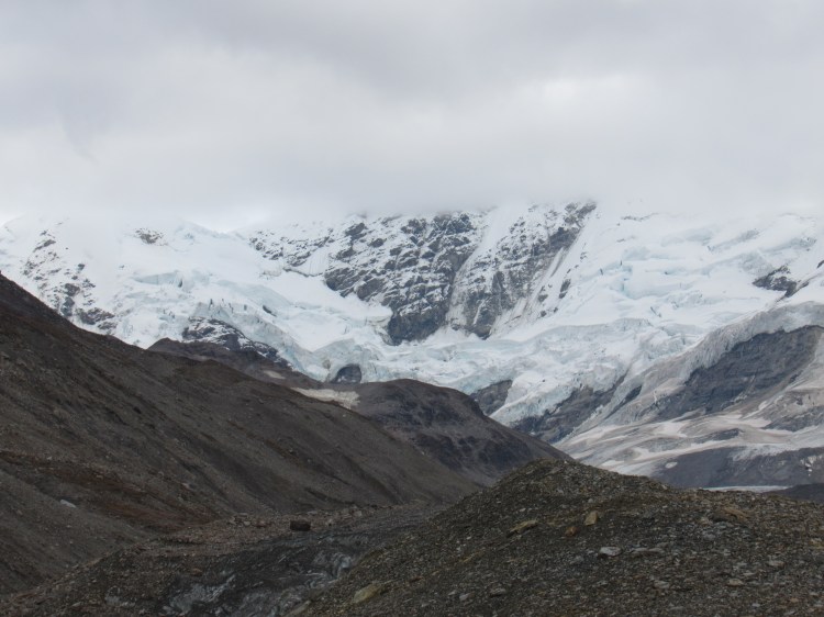
Broken GlacierThis is Broken Glacier, as seen from the bottom of the valley on our hike upThe most crevassed section of the Castner, we gained access to the hut by weaving through the crevasses on the lower right side of the photo.White Princess Branch corner
Enter a caption
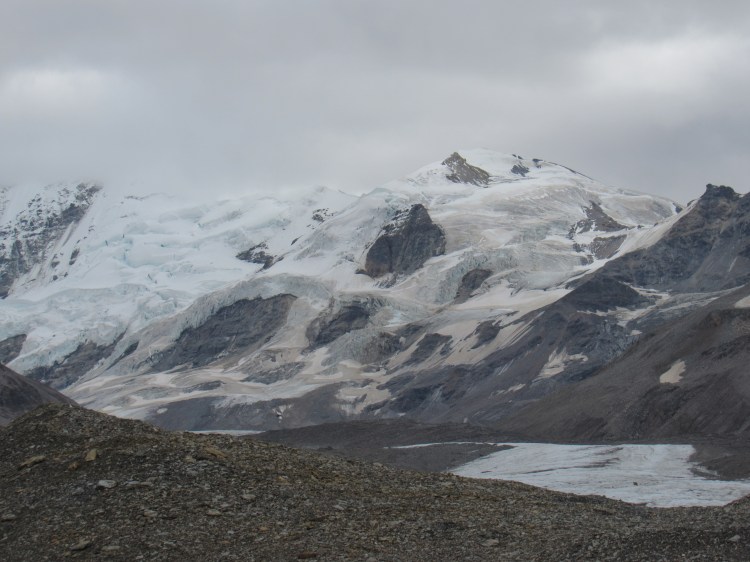
Left to right: M’Ladies, 8010, Triangle, Broken GlacierThe full north ridge of Triangle, the summit ridge lit by sunlight8010
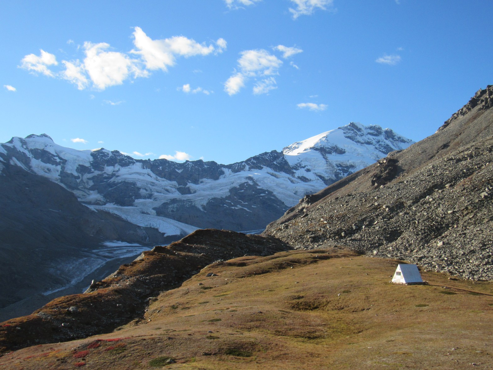
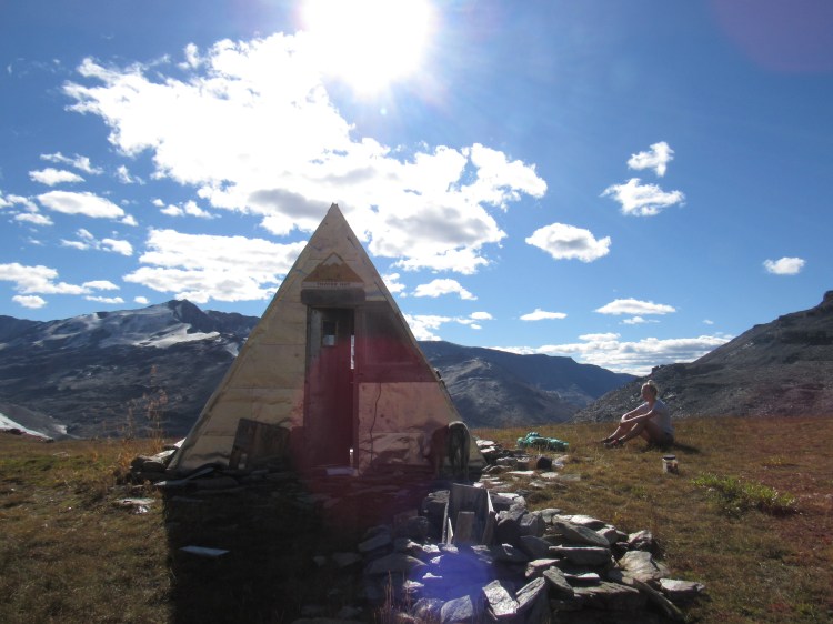
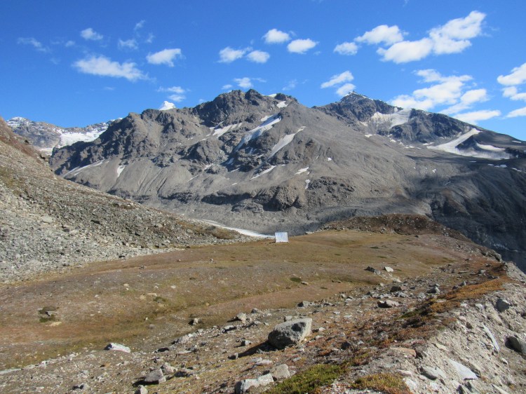
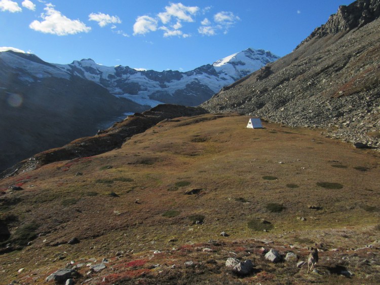
8010, M’Ladies BranchThayer Hut, Blackcap visible above the skyline ridge
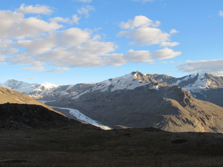
BlackcapHome for another night
We watched amazing aurora with some unexpected but delightful company that evening. We didn’t figure anyone else would want to make the 8 mile journey out to the hut! It was certainly the right place to be, the aurora filled the sky. When we awoke around noon, the clouds preceding a storm had rolled in and it was time to go.
Photo Credit: Clay Beethe. His Instagram where I got this photo is located here.Broken GlacierClay and friends met us Saturday night; we hung out and watched the aurora before hiking out on Sunday
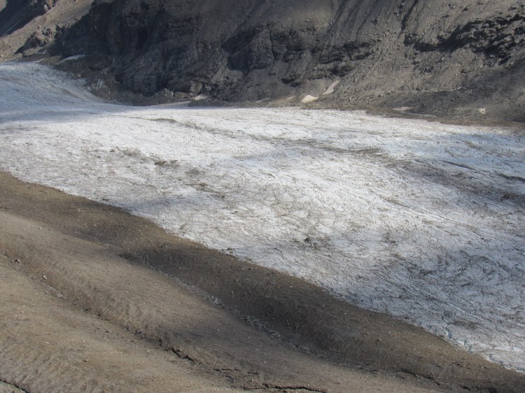
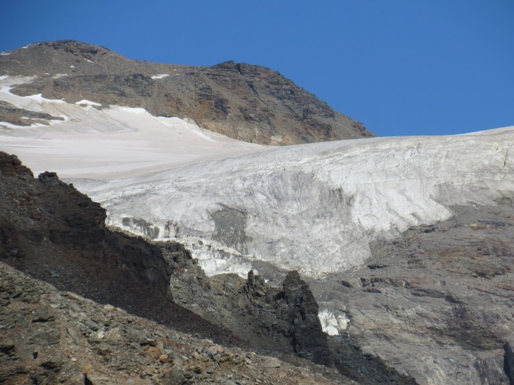
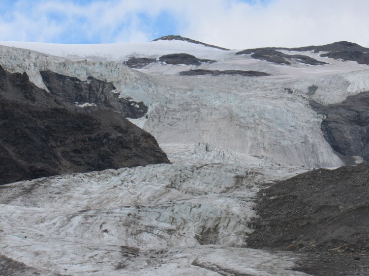
The hut plateau is not visible from the lower part of the glacier; it is vaguely discernible below the mountain (Mary’s Rock) on the left, below the darker patch of rock and well above the red, apartment-sized rock.A view up-glacier at the O’brien icefallO’brien Icefall


 Item Peak, from the south. My misadventure lower down along this ridge can be found here.


2 thoughts on “Thayer Hut”